Balnagowan
Near: Aboyne
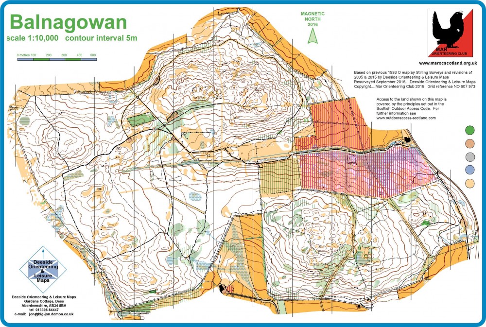
Terrain
Forest
Varied woodland to the north of Aboyne Gliding Club.
Location

Nearest town: Aboyne
- Grid Ref:
- Postcode: AB34 5JH
- Latitude: 57.08385
- Longitude: -2.81853
- Google Map
- Streetmap (OS)
- Bing Map (OS)
- OpenStreetMap