Ballogie
Near: ballogie
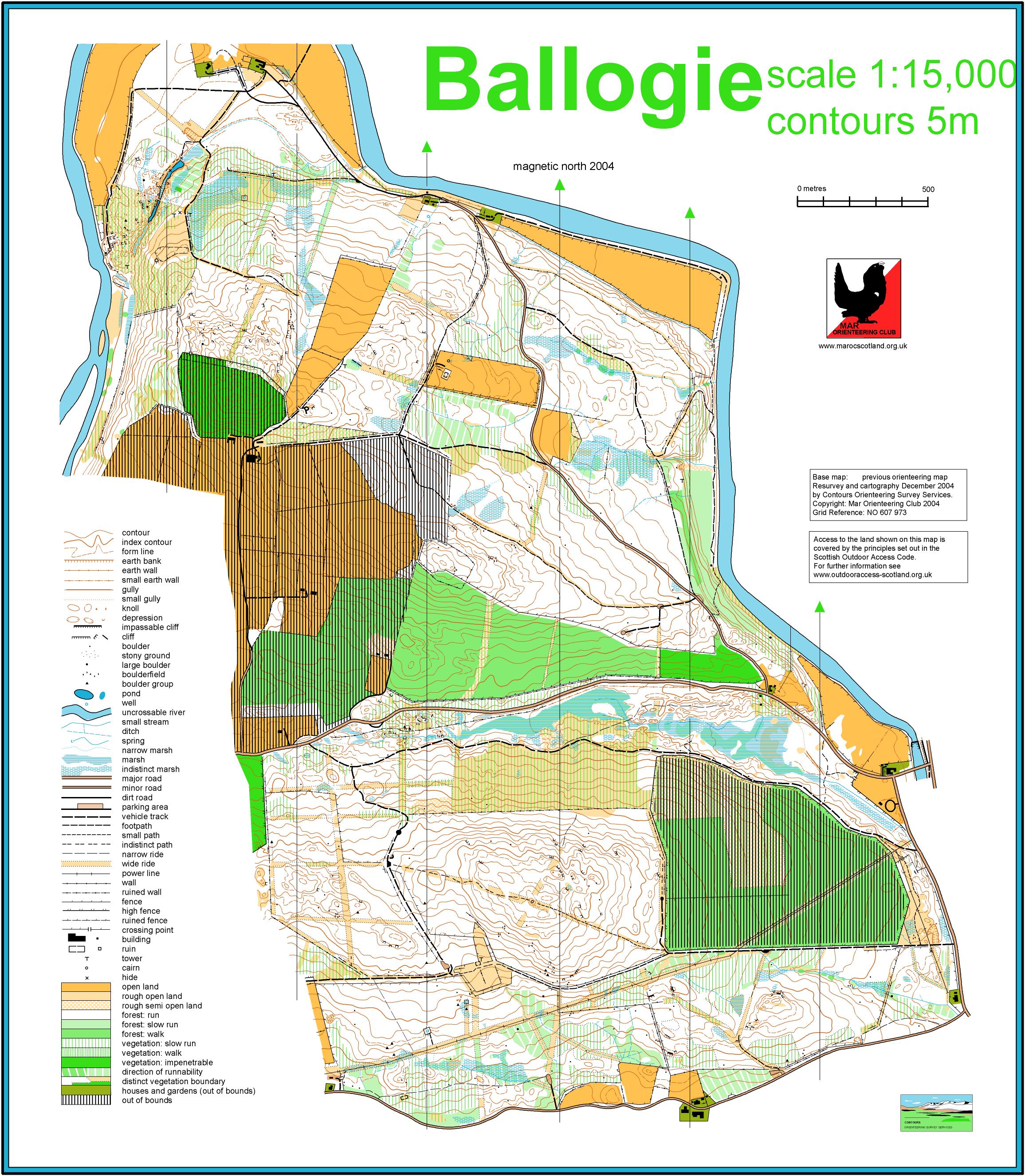
Terrain
Mature forest across the River Dee from Kincardine O’Neil. Some nice bits of rock detail.
Location

Nearest town: ballogie
- Grid Ref:
- Postcode:
- Latitude: 57.057723
- Longitude: -2.674484
- Google Map
- Streetmap (OS)
- Bing Map (OS)
- OpenStreetMap