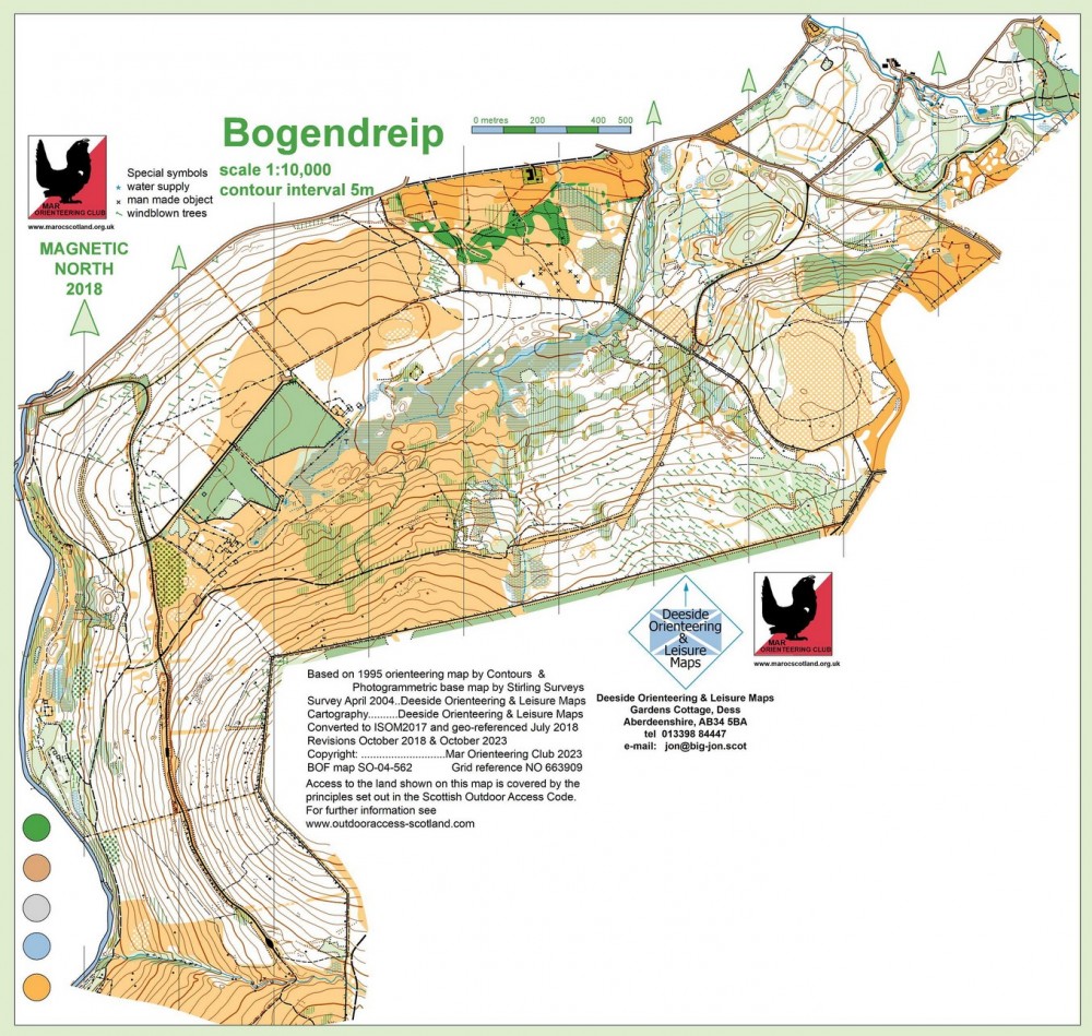
Bogendreip East Regional Event
Strachan
Sun 22nd Mar 2026
Type of event: Regional Race, JD2C
Type of terrain: Forest
Info updated: 23rd Mar
Results
A Regional Event for all abilities with a full suite of Colour-coded courses for all abilities from White to Brown. This is a British Orienteering Ranking Event.
Location

Nearest town: Strachan
- Grid Ref: NO683919
- Postcode: AB31 6PG
- Lat/Lon: 57.01695,-2.52332
- Google Map
- Streetmap (OS)
- Bing Map (OS)
- OpenStreetMap
Pre Event Info
Entry online via Fabian4 here. Online entries will close at 23:59 on Monday 16th March. There will be limited entry on the day, so please register in advance to guarantee a map.
A Regional Event for all abilities with a full suite of colour-coded courses for all abilities from White to Brown.
This is a British Orienteering Ranking Event and is a Jon Duncan Junior Deeside Cup (JD2C) event.
Grid reference for parking/assembly - NO683918. What3words: ///stiff.progress.shrub
Directions / Parking
Parking, assembly and download will be in a grass field approximately 1km south-east of Strachan on the minor road that runs from the B974 towards Knockburn Loch. This is a narrow road, so please be courteous to other drivers.
Registration & Start Times
Registration: 10:30 – 12:30
Starts: 11:00 – 13:00
Courses close: 15:00 prompt
Registration and download will be in the parking field. If you have pre-entered, you do not need to go to registration, unless you need to collect either a hired SI card or a White or Yellow map.
There will be no allocated start times. Punching start and finish.
Everyone must report to download in the parking field before leaving, whether they finish their courses or not. Otherwise, you may trigger a search party and/or call to the emergency services.
Course Information
The parking field is on the opposite side of the road from the forest, so a road crossing will be required before starting and after finishing. Please take care crossing the road and follow all signs and instructions. Younger juniors should be accompanied to the start and back from the finish.
The start will be approx. 600m from the parking field and the finish will be approx. 200m from the parking field. The following course lengths are subject to final controlling.
| Colour | Length (km) | Climb (m) |
|---|---|---|
| White | 1.6 | 35 |
| Yellow | 2.1 | 85 |
| Orange | 3.3 | 95 |
| Light Green | 3.6 | 75 |
| Green | 4.1 | 115 |
| Blue | 6.1 | 135 |
| Brown | 7.6 | 235 |
SportIdent (SI) electronic timing will be used,with SI Air enabled. If you have your own SI dibber, please bring it. Otherwise, SI dibbers can be hired for £1, but with £30 charge if lost.
Please wear full length clothing and check for ticks after your run.
Explanation of colour courses
- White are very easy with all controls on paths. They are mainly used by 6-10 year olds and family groups.
- Yellow use simple linear features like paths, walls and streams. They are mainly used by under 12’s and family groups.
- Orange progress to basic use of the compass and route choice. They are ideal for novice adults or experienced youngsters.
- Light Green are ideal for improvers as the navigational difficulty begins to increase and uses simple contours and point features.
- Green are used mostly by experienced under 18’s and adults wanting a short but challenging course with a very hard navigational difficulty.
- Blue are a longer, more physically demanding course in comparison to the green. The distances are more varied between controls and the course attracts experienced orienteers.
- Brown & Black are very physically demanding and have a very hard navigational difficulty. They are for experienced orienteers only.
- Score means visiting as many controls as possible in any order in a specific time, like 45mins.
Entry Details
Entry online via Fabian4 here.
Online entries close on at 23:59 on Monday 16th March. There will be limited entry on the day, so please register in advance to guarantee a map.
Entry fees: Seniors £10, Juniors/Students £5 (seniors on the White, Yellow or Orange courses will be charged the junior fee)
SI dibbers can be hired for £1, but with £30 charge if lost.
Facilities
The nearest public toilets are in Banchory Bellfield car park.
Dogs allowed?
Dogs are allowed in the parking field only.
Contacts / Officials
Planner: Calum Coombs
Organiser: Paul Chapman, Anna Szkutnik
Controller: Drew Tivendale
Info about the area
On B974 2 miles south of Strachan.
Safety and Risk
A comprehensive risk assessment will have been carried out by the organiser, but participants take part at their own risk and are responsible for their own safety during the event.
This includes dressing appropriately for the weather conditions, and carrying a whistle.
Participants in orienteering should be aware of the risk of tick bites - more information here.
SPORTident timing will be used
Please note that a lost hire SI-Card will be charged for at a rate of £30, unless the Club Commitee agrees that there are special circumstances.
Privacy
When entering our events your name may appear in the results section of this website or in newspaper reports.
Read our privacy policy to see how we look after your personal data.