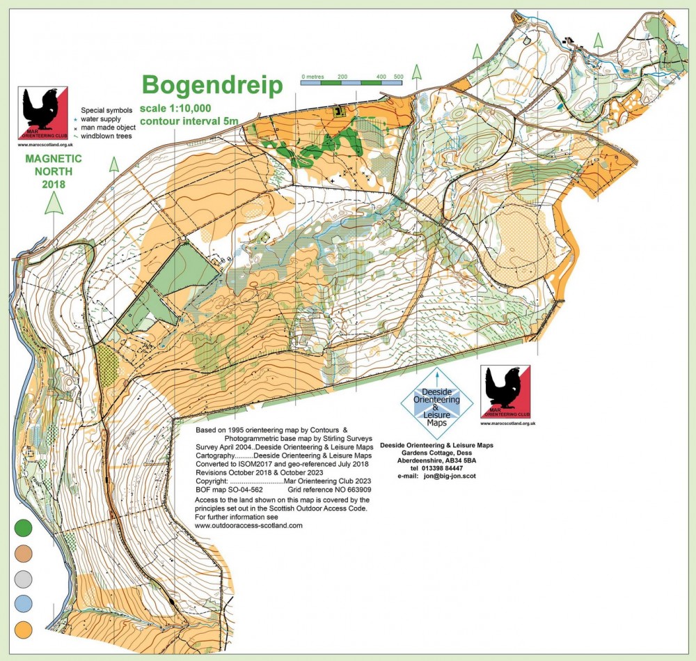
Bogendreip
Near: Strachan
Terrain
Forest
On B974 2 miles south of Strachan.
Location

Nearest town: Strachan
- Grid Ref:
- Postcode: AB31 6LN
- Latitude: 57.01230
- Longitude: -2.54671
- Google Map
- Streetmap (OS)
- Bing Map (OS)
- OpenStreetMap